


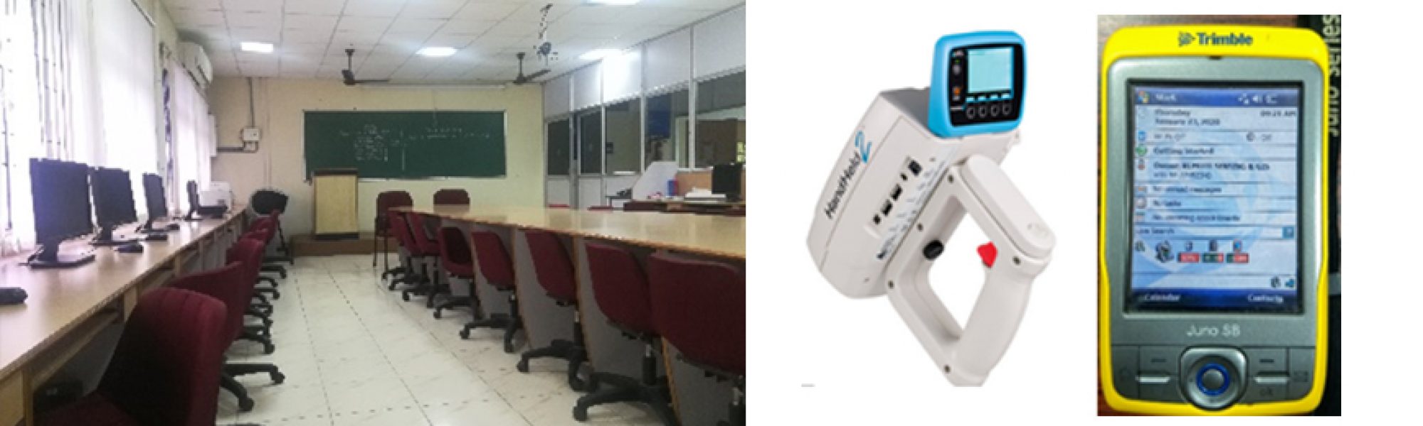


Remote sensing and GIS Laboratory carries out studies and research on various aspects of Geological applications, hydrology and water resources applications, environmental application and urban studies using remote sensing and GIS techniques. Software available in the Laboratory include ArcGIS, Map Info, ERDAS Imagine, and ENVI. The laboratory also maintains large number of Survey of India topographic maps and various satellite sensor data.
Remote Sensing and GIS Laboratory

Figure : Remote Sensing and GIS lab

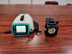
Figure : Trimble Juno SB handheld GPS

Figure : ASD Handheld 2 spectroradiometer

Figure : ASD Handheld 2 spectroradiometer with illuminator