Overview
The Centre for Remote Sensing and GIS, established in 2025 by the Department of Civil Engineering is a multidisciplinary hub for research, training, and consultancy, dedicated to the advancement and application of geospatial technologies. Established with the vision of integrating academic excellence with real-world geospatial solutions, the Centre has been instrumental in promoting sustainable development through spatial data analysis, remote sensing, and GIS-based applications.
Since 2006, the department has been offering an M.Tech. program in Remote Sensing & GIS designed to produce skilled professionals and researchers capable of addressing complex spatial problems in diverse domains such as environment, urban planning, agriculture, water resources, disaster management, and infrastructure development. With its strong academic foundation, the Centre also engages in applied research, industrial collaboration, and capacity-building initiatives to meet the growing demand for geospatial intelligence in both the public and private sectors.
Vision
The Centre for Remote Sensing and GIS is dedicated to promoting sustainable resource management by advancing innovative research, offering professional training, consultancy and fostering global collaboration in Remote Sensing and GIS technologies.
Objectives
- To conduct pioneer research on the application of Remote Sensing and GIS for the assessment, monitoring, and sustainable management of land and aquatic resources.
- To offer training in Remote Sensing and GIS to professionals from both government and non-government organizations, enhancing their expertise in relevant fields.
- To collaborate with national and international organizations and universities on research, consultancy, and exchange programs in Remote Sensing and GIS.

Welcome to Centre for Remote Sensing And GIS
We warmly welcome you to the Centre for Remote Sensing and GIS, a hub of excellence in geospatial education, research, and innovation. With a strong foundation in academic rigor, cutting-edge research, and industry collaboration, we offer a dynamic learning environment that nurtures creativity, critical thinking, and global competence.
The Centre for Remote Sensing and GIS actively engages in consultancy projects, offering expert solutions in geospatial data analysis, remote sensing applications, and GIS-based decision support systems to support government agencies, research organizations, and industry partners in addressing real-world challenges. Our alumni, now contributing across premier institutions and industries worldwide, are a testament to our commitment to quality and impact. We invite you to explore, engage, and grow with us as we continue to push the frontiers of geospatial science and technology.
Key Activities Of The Centre
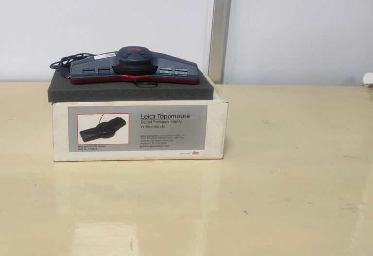
The M.Tech. program in Remote Sensing & GIS, initiated by the Department of Civil Engineering in 2006, which has progressively advanced into the “Centre for Remote Sensing and GIS”. The M.Tech. in Remote Sensing & GIS offers in-depth knowledge of Satellite Remote Sensing, GIS, Digital Photogrammetry, Close-range Photogrammetry, Airborne and Terrestrial Laser Terrain Mapping, Drone and GNSS Technologies, with applications in fields such as Resource Management, Geosciences, Planetary Science, Water Resources, Water pollution, Disaster Management, Rescue operation, Agriculture, Forestry, Coastal Studies, Atmospheric Sciences, Urban Planning, Topographical, Terrain mapping and Health Sciences. Graduates of this program are well-prepared for various career paths that leverage this interdisciplinary expertise.
The M.Tech. Remote Sensing and GIS program has produced 138 graduates from across India and abroad, contributing significantly to geospatial fields worldwide. The program has also awarded 29 Ph.D. degrees in Remote Sensing and GIS, with alumni pursuing doctoral studies at prestigious international universities, further strengthening its global academic presence. Many alumni are employed at reputed institutions like IIRS, PRL, NRSC, INCOIS, NASA, and ESRI, reflecting the program’s industry relevance and practical focus. Students gain valuable research and field experience through internships and project collaborations with leading organizations such as IIRS, IISc, IMD, and VSSC. These initiatives collectively ensure the Centre’s strong academic foundation, industry linkage, and global impact in geospatial sciences.
The centre boasts a team of experienced faculty members with expertise across various domains, supported by external research funding. Research opportunities are available in areas such as soil and agricultural studies, urban studies, planetary science, water resources, resource exploration and management, natural hazards and disaster management, forest biodiversity, geoscience applications, coastal studies, and the application of machine learning in diverse fields. This funding and expertise enable the Centre to advance impactful research addressing scientific and societal needs.
Training for Government and corporate officials, Awareness Programs for Public, Hands-on experience for school and College Students, Seminars, Workshops, Conferences, webinars, and Faculty Development Programs. These initiatives support the Centre’s mission to build geospatial expertise and raise awareness of the critical role of these technologies in sustainable development.
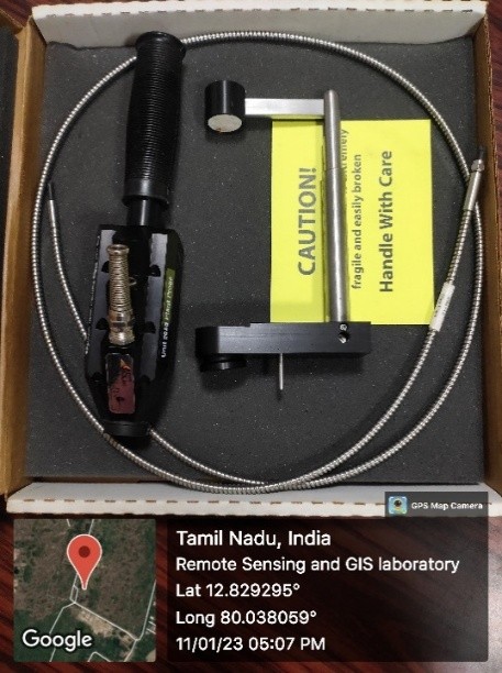
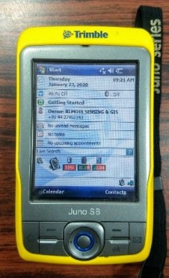
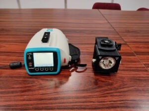
The Centre for Remote Sensing and GIS offers a wide range of consultancy services, leveraging advanced Remote Sensing, GIS, and geospatial technologies to address complex environmental, societal, and industrial challenges. Some of the key consultancy services include Change Detection Studies, Land Use and Land Cover Mapping, Site Suitability Studies, Water Quality Studies, Spectro-radiometric Studies, Mineral Mapping, Flood Inundation Studies, Coastal Hazard Studies, Drone Surveying, DGPS Surveying, Coastal water quality and Microplastic Studies, Digital Photogrammetry, Close-range Photogrammetry, Airborne Laser Terrain Mapping (LiDAR), Terrestrial Laser Terrain Mapping.
Future Initiatives Of The Centre
MS in Remote Sensing and GIS
The Centre is planning to launch a Master of Science (MS) program in Remote Sensing and GIS. This program will offer an advanced, research-driven curriculum, further strengthening the academic foundation in geospatial sciences.
Minor Certification /short-term certified /e-certified courses
To meet the growing demand for specialized geospatial skills, the Centre plans to introduce short-term certified courses in Remote Sensing and GIS. The courses will be designed to provide practical, hands-on experience, equipping participants with relevant skills for the rapidly evolving geospatial industry.
Facilities
Instruments available at the centre are Handheld 2 Spectroradiometer (VNIR range), Contact Probe, Topomouse, Digital Planimeter, etc. Twenty-three systems with Software including ArcGIS, Map Info, ERDAS Imagine, LPS and ENVI. The laboratory also maintains large number of Survey of India topographic maps and various satellite sensor data.